We leave Banff this morning, beginning our third day of riding the Canadian Rockies.
Retracing our steps from yesterday, we ride west on the Trans-Canada Highway for a few miles, then turn onto Highway 1A, also known as the Bow River Parkway. After 15 easy miles, we arrive in Castle Junction, named for nearby Castle Mountain. Castle Mountain’s highest point is 9,744-foot Television Peak, which gets its name from the TV repeater located on top.
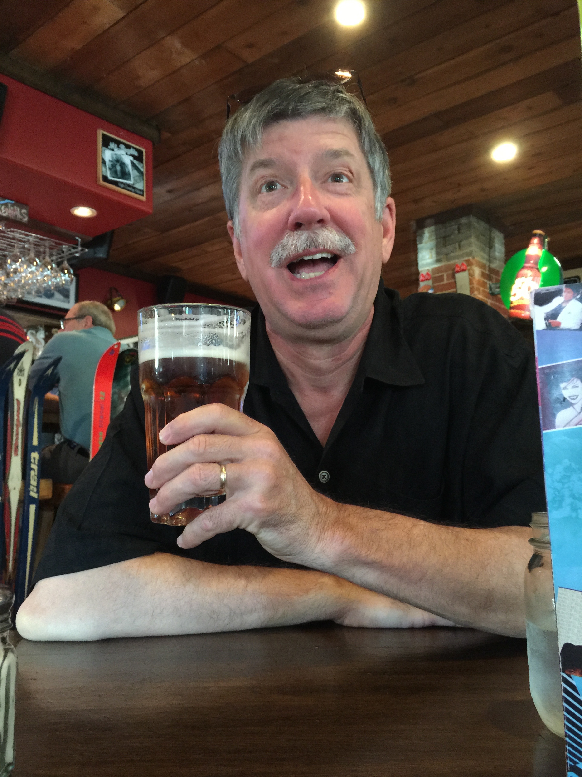
In Castle Junction, we turn south and west onto Highway 93, the Kootenay Highway. We are now back in British Columbia, where we’ll remain for the duration of our ride. The skies immediately darken, and rain quickly turns to sleet and, oh no, hail! We duck into the aptly named Storm Mountain Lodge to wait out the ill-tempered weather.
The Kootenay region of southeastern British Columbia derives its name from the Kootenay River. The name is often confused with Kootenai, a county in northern Idaho whose largest city is Coeur d’Alene. Kootenai County, Idaho, is named after the Kootenai Tribe. Actually, different spelling, same river.
Whatever. The Kootenay Highway follows the contours of the Kootenay River, through Vermillion Crossing. We are now in Kootenay National Park. There’s a lot of Kootenay going on.
After 65 miles on the Kootenay Highway, we arrive in Radium Hot Springs, named for the hot springs located in nearby Kootenay National Park. The hot springs complex is actually a part of the Canadian National Park System. The complex contains two large pools, one with hot water for soaking – temperatures are usually around 104 degrees – and the other, a more traditional swimming pool kept at around 84 degrees. The pools are open year round. For $6.30, we could have stopped for a dip.
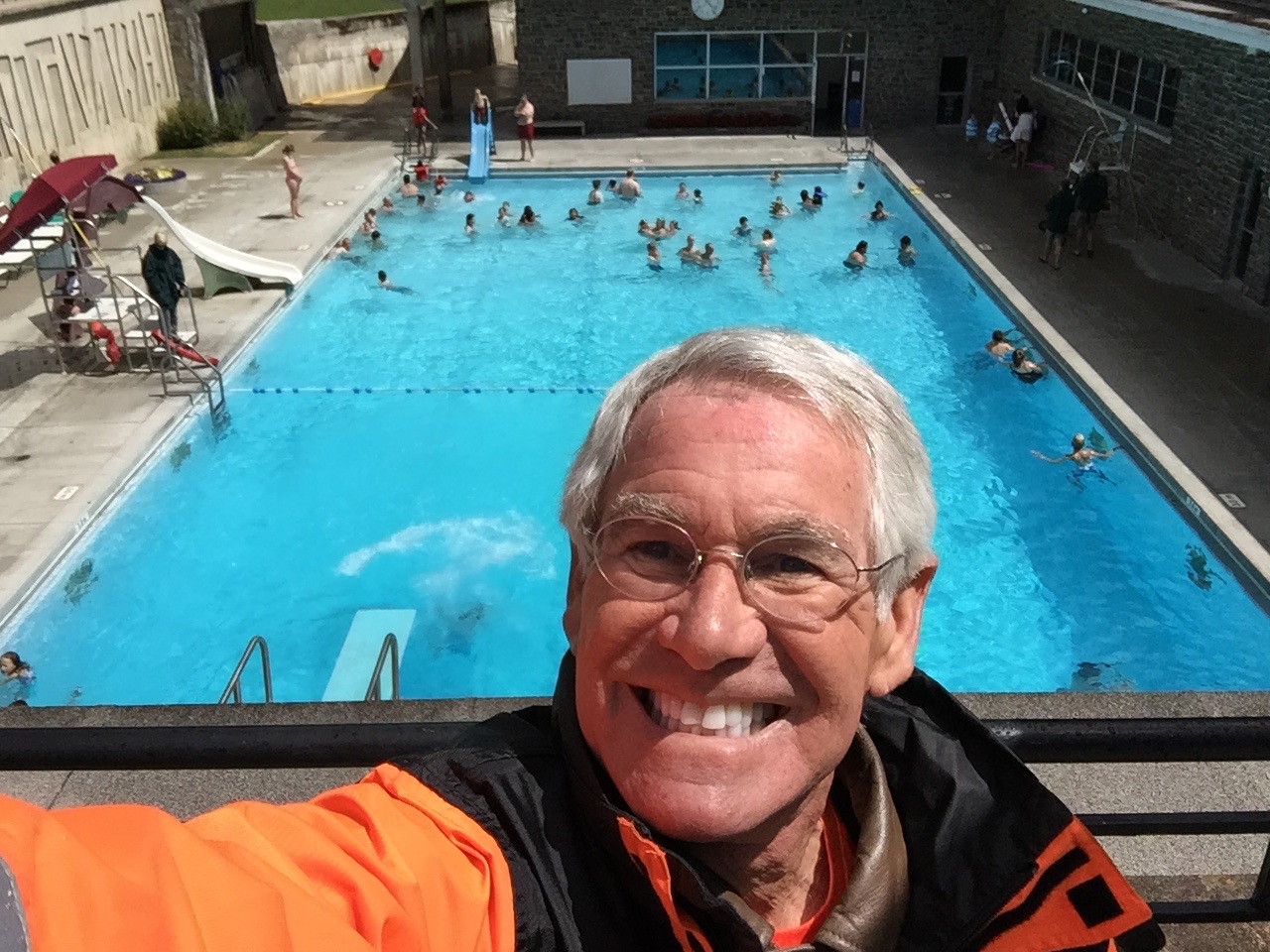
The hot springs were named after the radioactive element, radium. An analysis of the water here showed that it contained small traces of radon, which is a decay product of radium. Turns out the radiation dosage from bathing in the nearby pools is insignificant; about .13 millirem from the water for a half-hour bath. A millirem is one thousandth of a rem. Hey, it’s not exactly like you’re in Chernobyl. Three final radium fun facts: its symbol is Ra, its atomic number is 88, and its discoverers were Marie and Pierre Curie.
***
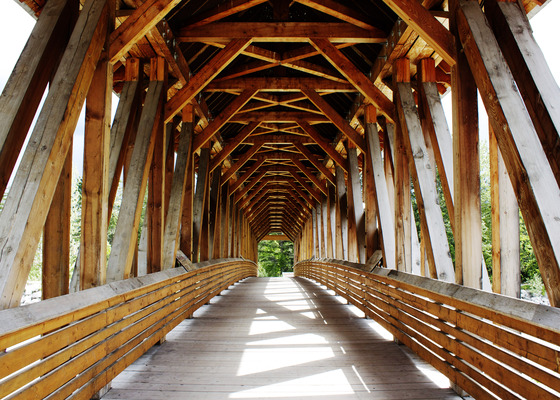
In Radium Hot Springs, we turn north onto Highway 95, which follows the Columbia River for more than 60 miles. The town of Golden, at the northern terminus of Highway 95, is home to the 150-foot-long Kicking Horse Pedestrian Bridge, the longest freestanding timber frame bridge in Canada. The bridge is named after the nearby Kicking Horse River and Kicking Horse Pass.
What up with all the kicking? The river was named in 1858, when explorer James Hector was kicked by his packhorse while exploring the river. Hector survived and named the river as a result of the incident.
The town of Golden brings us back to the Trans-Canada Highway, which we will ride for the next 90 miles, much of it along the Columbia River. We cross Rogers Pass, a 4,360-foot high mountain pass in the Selkirk Mountains. Rogers Pass is named for Albert Bowman Rogers, a surveyor hired by the Canadian Pacific Railway in 1881 to find a pass through the Selkirk Mountains. The railway told Rogers they’d name the pass after him — if he found one — and give him a $5,000 bonus to boot. Incentives do work. Thanks to Rogers’ discovery, Canadian Pacific built the railway through the pass in 1884.
We are now in yet another park, Glacier National Park.
Glacier is one of seven national parks in British Columbia. The park’s history is closely tied to two primary Canadian transportation routes, the Canadian Pacific Railway, completed in 1885, and the Trans-Canada Highway, completed in 1963.
After passing through Canyon Hot Springs, we are now following Illecillewaet River, a tributary of the Columbia. The Illecillewaet (good luck spelling or pronouncing it) flows into the north end of Upper Arrow Lake in Revelstoke, tonight’s destination.
Like so many other towns and communities across Canada, Revelstoke was founded in the 1880s when the Canadian Pacific Railway was built through the area. The city was named in appreciation of Lord Revelstoke, head of a British investment bank that helped save the Canadian Pacific Railway from bankruptcy in the summer of 1885. The Revelstoke Railway Museum celebrates the history and heritage of rail’s impact on Revelstoke.
Today, the area may be best known for the Revelstoke Mountain Resort, a ski area with North America’s greatest vertical rise: 5,620 feet. By comparison, Chamonix, in the French Alps has a vertical rise of 7,326 feet. And, the Cloudmont ski area atop Lookout Mountain in Mentone, Alabama, has 150 feet of vertical. Ya gotta start somewhere.
After 245 miles on the road, we call it a day, grab a bite to eat at The Village Idiot (a hip ski restaurant) and spend our last evening in Canada. Tomorrow, the USA beckons.