Today, we’ll make one final loop through the San Juan Mountains and San Juan National Forest, before returning to Ouray for a second night.
We begin the day by riding 10 miles north to Ridgway, then turning southwest on CO-62 for 23 miles toward Placerville, originally established as a small mining camp. Placerville was named after the placer gold mines located on the San Miguel River and Leopard Creek. For you non-miners out there, placer mining is the mining of alluvial (loose) deposits for minerals.
There’s not much in Placerville these days, though it does have a U.S. Post Office, with an 81430 ZIP code.
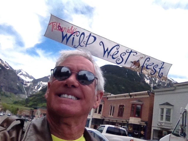
In Placerville, we turn east on CO-145, and 15 miles later, we are in the mountain town of Telluride, famous for skiing in the winter and its many festivals in the summer. Telluride sits in a box canyon, at 8,750 feet.
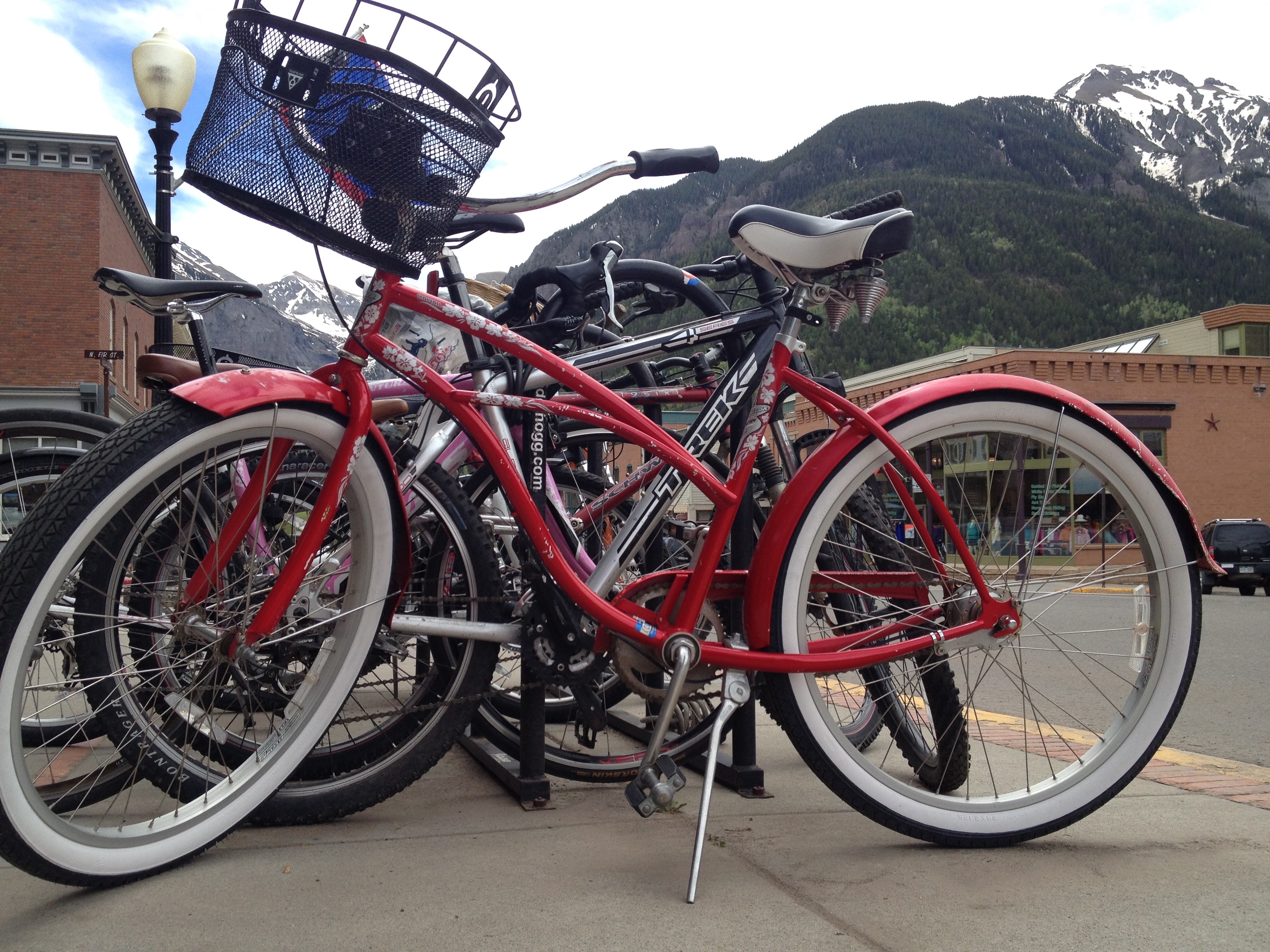
Telluride is a former silver mining camp, founded in 1879 as “Columbia.” But due to confusion with a California town of the same name, it was renamed Telluride in 1887, for the gold telluride minerals found in other parts of Colorado. A telluride mineral has the telluride anion as a main component. Consult someone with a chemistry or mining background for a better explanation.
Gold tellurides include calaverite and krennerite. These telluride minerals were never located near Telluride, causing the town to be named for a mineral that was, um, never mined there.
Mining was Telluride’s only industry until 1972, when the first ski lift was installed by Telluride Ski resort founder Joseph Zoline and his Telluride Ski Corporation. The town of Telluride sits at 8,750 feet in the western San Juan Mountains.
In the 1980s, Telluride became notorious in the drug counterculture for being a drop point for Mexican smugglers and a favorite place for wealthy importers to enjoy some downtime.
The town was featured in the 1985 NBC-TV hit show Miami Vice, courtesy of Glenn Frey’s song, “Smugglers Blues.” Among its lyrics: “They move it through Miami, sell it in L.A. They hide it up in Telluride, I mean it’s here to stay.” Click here to time travel back to the ’80s and hear/watch Smuggler’s Blues.
Frey, a member of The Eagles rock band, has a home at PGA West, where his mother lived for many years until her death in 2013. He’s also owned high-end properties in Hana, Hawaii; Brentwood, California; and Snowmass, Colorado.
Country singer Tim McGraw in 2001 recorded his song, “Telluride,” which included the lyric: “In Telluride, the snow falling down, I was waking up in that sleepy little town. In her eyes my world came so alive. I never will forget the moment she arrived in Telluride.” To see Tim McGraw’s vision of Telluride, click here.
Local residents and visitors have included Bob Dylan, Daryl Hannah, Jerry Seinfeld, Ed Helms, Sean Penn, Oprah Winfrey and Tom Cruise. All rich and famous. Just like in Aspen.
***
Feeling somewhat rich and famous ourselves, if only by association, we hop on our bikes and continue south on CO-145 for 60 miles, to the town of Dolores. For you etymology fans, Dolores is Spanish for “sorrows” and is named for the river on which it’s located. Dolores is at the southern end of the McPhee Reservoir.
In Dolores, we turn east on CO-184, heading for the town of Mancos, whose most notable resident is Luther Elliss, former NFL football player for the Detroit Lions, who once played at the University of Utah (“America’s Team”). Elliss was born in Mancos, attended Mancos High School, and played for the Mancos Blue Jays high school football and basketball teams. The guy has some real Mancos roots.
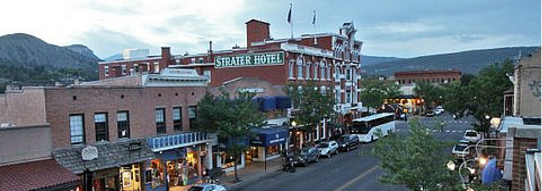
From Mancos, we turn east on US-160 and 27 miles later we are in Durango, which is named after Durango, Mexico – which was named after Durango, Spain. All three Durangos are sister cities. The word Durango originates from the Basque word “Urango,” meaning “water town.”
Durango sits on the Animas River at an elevation of 6,500 feet. Durango was founded by the Denver & Rio Grande Railway in 1879. The railroad arrived in 1881, constructing a narrow gauge line to haul passengers and freight to Silverton – and to haul silver and gold ore from the San Juan Mountains.
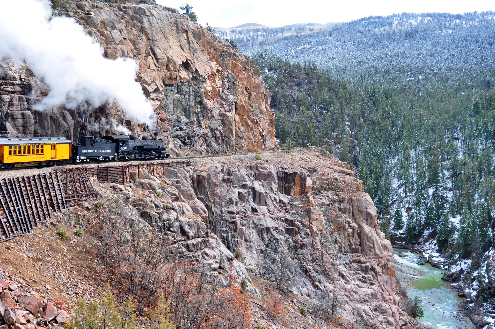
The historic train has been in continuous operation since 1882. For $85, you can board in Durango for the 3 ½-hour, 45-mile ride to Silverton. There, you’ll relax for 30 minutes before the return trip begins. The train’s top speed is 18 miles an hour.
Durango is also home to the SnowDown Festival, a historic downtown district, and Fort Lewis College.
My good friend, Curtis Smith, a Shell Oil PR exec originally from Soldotna, Alaska, once attended Fort Lewis College, where he was a walk-on player on the golf team. Curtis, part of the annual Alaska golf invasion to La Quinta, now works for Shell in the Washington DC area.
I exchanged email notes today with Curtis, who is in The Hague, The Netherlands — Shell’s international headquarters. That’s way more cool than Boeing sending me to Chicago. Chicago, however, does have better pizza than whatever Curtis is eating in The Netherlands.
Other notable people with a Durango connection include:
- Bob Roll, former bicycle racer and one-time Lance Armstrong training partner, who now broadcasts major cycle races, including the Tour de France. You can see how Bob rolls when “le Tour” begins Saturday, July 5, on the Versus and NBC Sports Networks.
- Steve Carlton, former Major League baseball pitcher, who won four Cy Young awards for the Philadelphia Phillies before retiring to Durango.
- Louis L’Amour, western author who wrote his Sackett Series at the historic Strater Hotel in downtown Durango.
- Jack Dempsey, boxer who became the world heavyweight champion in 1919. Dempsey won one of his first fights in a 10-round boxing match at Durango’s Central Hotel.
Parts of the 1991 film, City Slickers, were filmed here. Best line from that movie: “We’re lost, but we’re making good time.” The line was originally attributed to Yogi Berra, long noted for his malapropisms.
***
Leaving Durango, we head north on US-550, which will take us all the way to Ouray, 70 miles to the north.
About 25 miles from Durango, we pass by the Durango Mountain Resort, sometimes known by its former name, Purgatory. The name Purgatory comes from Purgatory Creek, which runs through the area – and from Purgatory Flats, today the location of the ski area’s base. The ski resort’s base is at 8,793 feet; its peak is 10,822 feet.
Legend has it that the Purgatory name comes from miners who were trying to get from Durango to the prosperous mines in the Silverton area. They had to pay 50 cents to use the toll road. Miners who couldn’t afford the toll were stuck in the area, which became known as Purgatory Flats. They couldn’t afford to get up the mountain, but couldn’t see themselves quitting and going down, either. Now that’s purgatory.
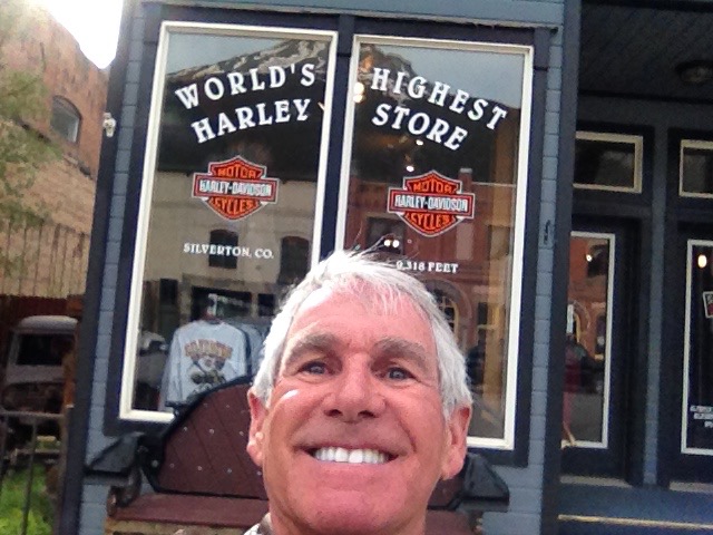
We continue north on US-550 to Silverton, a former silver mining camp, now designated a National Historic Landmark District.
Silverton, at 9,308 feet, was the setting for some of snowboarder Shaun White’s 2010 Winter Olympic training. Taking advantage of the secluded locale, terrain and snowfall, Red Bull (one of his sponsors) built White a private halfpipe on the backside of Silverton Mountain. The Flying Tomato went on to win the 2010 halfpipe gold medal at Cypress Mountain, near Vancouver B.C., a repeat of his gold-medal performance at the 2006 Winter games in Turin, Italy.
Click here for a fun look at White’s private halfpipe in Silverton.
***
From Silverton, the remaining 25 miles of US-550 are quite a thrill. This road, part of the San Juan Skyway Scenic Byway, is known as the Million Dollar Highway.
Though the entire stretch from Silverton to Ouray earns the Million Dollar designation, it’s really the 12 miles from Ouray through the Uncompahgre Gorge to the summit of Red Mountain Pass where the highway gets its name.
The road has steep cliffs, narrow lanes, hairpin curves, and few guardrails. My sphincter is tightening up just thinking about it.
The Million Dollar Highway goes over three mountain passes: Coal Bank Pass (10,640 feet), Molas Pass (10,970 feet), and Red Mountain Pass (11,018 feet).
It’s unclear exactly where the Million Dollar Highway gets its name. Two popular legends for its name:
- It cost a million dollars per mile to build the roadway in the 1920s
- Its fill dirt contains a million dollars in gold ore
Pick one, or make up something slightly more creative.
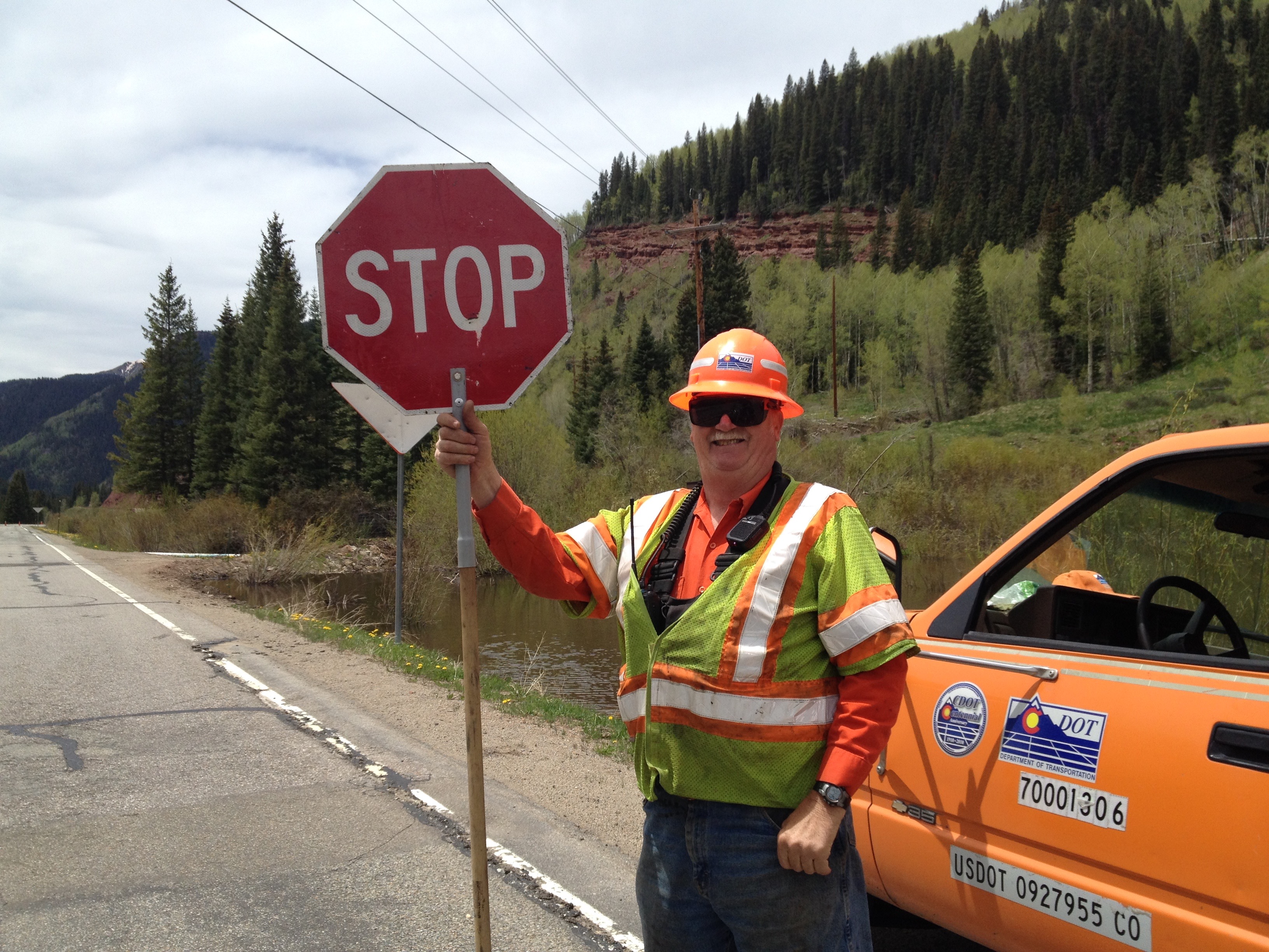
A funny thing happens on our way to Ouray: the road is closed!
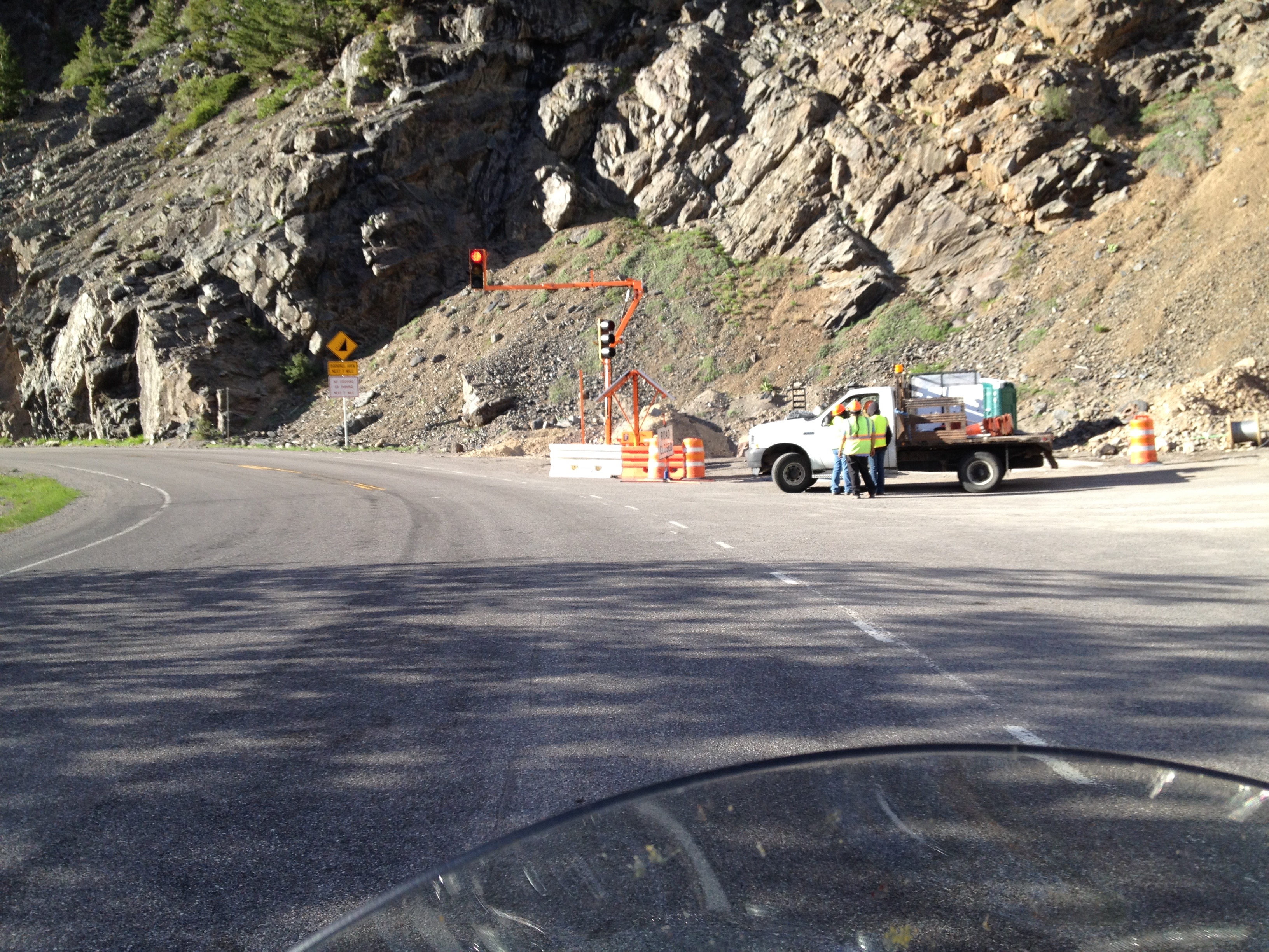
OMG … The Colorado Department of Transportation has closed a mile-long stretch of the Million Dollar Highway, about three miles from Ouray.
The road is closed to all traffic from 8:30 am to 6:30 pm. The DOT is doing rock scaling and “rockfall mitigation” — cleaning up after a super-sized slide over the winter.
We arrive at the closure point about 6:45 pm, and the closed section of road is now open, one lane at a time — when the signal on your direction turns green.
We wait on the red light a few minutes. Then it turns green, and we ride the last few miles into Ouray as the sun sets over the mountains.
Tomorrow we’ll head south out of Ouray on the Million Dollar Highway. We’ll be setting our alarm clocks tonight, knowing if we oversleep, the road will be closed and we may stay in Ouray until it reopens tomorrow night!
***
Day Thirteen Summary: Smugglers blues in Telluride, a lesson in mining chemistry, we’re lost but we’re making good time, a million dollars for the taking.
To see today’s complete route from Ouray to Durango and back to Ouray on the Million Dollar Highway, click here.
What will tomorrow bring?
