***
Beginning in Kooskia, Idaho, the road over Lolo Pass runs for 132 spectacular miles along the Clearwater and Lochsa Rivers, ending of course, in the town of Lolo, Montana. It’s part of the Northwest Passage Scenic Byway.
I’ve ridden this road twice — in 2021 from West to East, and in 2022, from East to West. Either direction is a motorcyclist’s fantasy.
Kooskia marks the beginning of the Lolo Pass Highway, known among Harley fanboys as one of the top rides in the country. From Kooskia, it’s 100 miles to Lolo Pass, and 32 more to the town of Lolo.
So, you should do what all smart Harley riders do, and turn east on Highway 12, beginning the journey to Lolo Pass. Where the ride begins, the road is Idaho Highway 12 (also known as the Lewis and Clark Highway); it becomes Montana Highway 12 after crossing Lolo Pass into Montana.
You’ll follow Highway 12, and the Clearwater River, east.
Fifteen miles later, you arrive in the tiny town of Syringa, named for the shrub that grows in the area. It’s also the Idaho state flower. Syringa is a woody shrub with clusters of white, fragrant flowers. Native Americans found many uses for syringa; the wood was used to make pipe stems, harpoon shafts, bows, arrows, root digging sticks, and snowshoes. The bark and leaves of syringa were used to make soap.
The town of Syringa is in the Nez Perce – Clearwater National Forest, which you’ll ride through for the next three hours, until you arrive at Lolo. Most of the path of the Lolo Pass Highway runs along the Clearwater and Lochsa Rivers.
Your journey will be much easier than the Lewis and Clark Expedition’s. In 1805, they descended the Clearwater in dugout canoes.
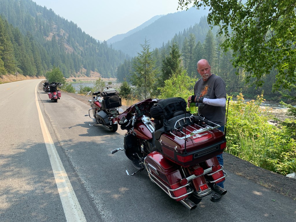
In the town of Lowell, population 30, the Middle Fork of the Clearwater River becomes the Lochsa River. Lochsa (pronounced LOCK-saw) is a Nez Perce word meaning rough water. Kayakers and whitewater rafters run the Lochsa, generally between April and June.
You’re now following Highway 12 along the Lochsa River’s north bank. This roadway, completed in the early 1960s, was one of the last two-lane US highways built.
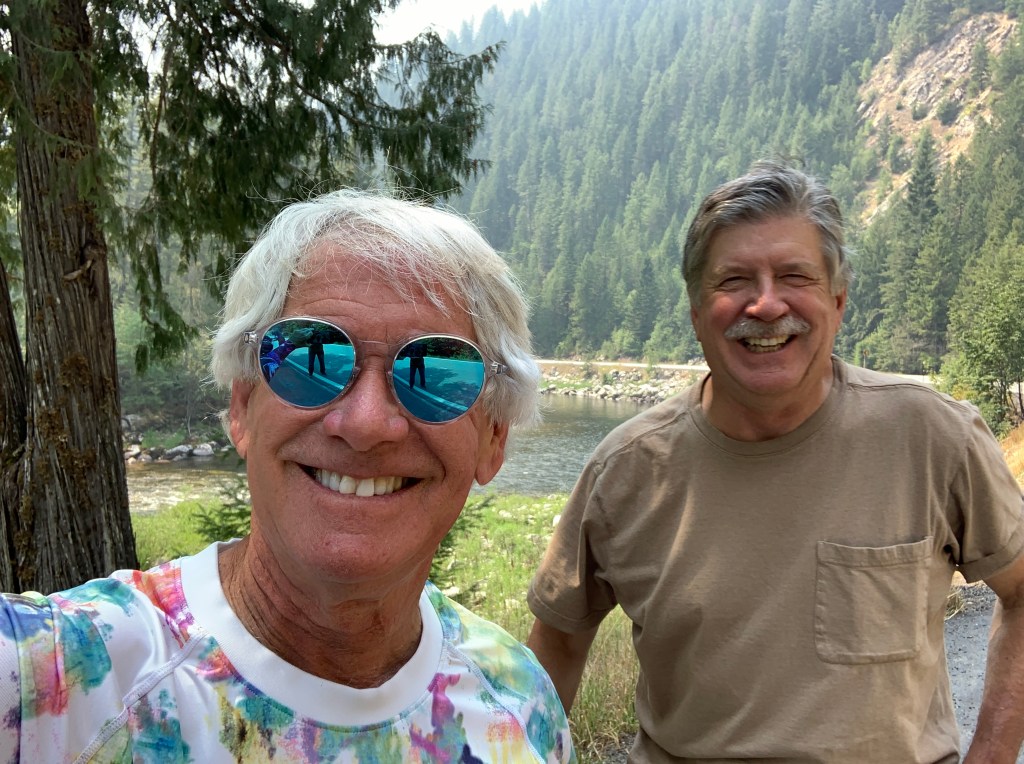
You won’t see much for the next two hours, until you arrive at Lochsa Lodge, constructed in 1929 for hunters. Sportsmen traveled by trail from Missoula, Montana, and from Kooskia, Idaho, to stay at the lodge, before Highway 12 was built.
Lochsa Lodge is one of the few places on the Lolo Pass Highway where food and beverage is available. Their signature dish: blackberry cobbler, a la mode.
From Locha Lodge, it’s 13 miles to Lolo Summit, sitting on the border between Idaho and Montana at an elevation of 5,233 feet. It’s the highest point on the historic Lolo Trail, which was used by Nez Perce in the 18thcentury, and the Lewis and Clark Expedition, on their westward snowbound journey in September 1805.
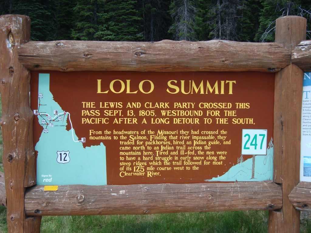
The Lolo Trail is a National Historic Landmark, designated for its importance to the Lewis and Clark Expedition, and its role in the 1877 Nez Perce War.
There are different stories as to where the name Lolo came from. The name Lolo was not used by Lewis and Clark. Its first known mention is in the 1810 journal of David Thompson, who described three fur trappers, probably of French descent: Michael, Lolo and Gregoire.
From Lolo Pass atop the Bitteroot Range, you descend about 3,000 feet over the next 32 miles until arriving in Lolo, Montana. Lolo is home to Travelers’ Rest State Park, where Lewis and Clark camped in 1805 and 1806. The Lewis and Clark expedition party included 27 unmarried soldiers, a French-Indian interpreter, and a contracted boat crew — 45 people in all.
Lewis, Clark, and their fellow expeditioners, found the area that is now Travelers’ Rest State Park a relaxing place to hang out. For them, it was ideal to stop, rest, hunt and repair their gear before tackling the trip over Lolo Pass. Today, the park is distinguished for being the only archaeologically verified campsite of the Lewis and Clark expedition.
The road over Lolo Pass, 132 miles in all, ends in Lolo, population 4,000. More than likely, if you’re riding West to East, you’ll continue for ten miles to Missoula, Missoula, and find a place to stay. When I rode Lolo Pass from East to West, in 2022, I kept riding past Kooskia for 66 miles, and overnighted in the fishing town of Riggins, Idaho.
To explore this route, click here
