***
Colorado has more 14,000-foot named peaks than any other state: 58 of them.
Two of those 14ers have paved roads to the top.
Yes, if you dare, you can ride to the summit of Pikes Peak and Mount Blue Sky. I did exactly that on two consecutive days in August 2026. If you’re really ambitious, you could do them both in the same day.
Those incredible rides rate a a tie for #1 on my all-time Top Ten List.
***
Mount Blue Sky: 14,130 feet
We’ll begin with Mount Blue Sky. I’ve ridden it twice. Once in 2014 when it was called Mount Evans, and again in 2026, after it was re-named Mount Blue Sky.
The road to Mount Blue Sky begins in Idaho Springs, just off of Interstate 70. From there, it’s 14 miles, and a 3,100-foot climb to Echo Lake, where the Forest Service gate to the summit is.
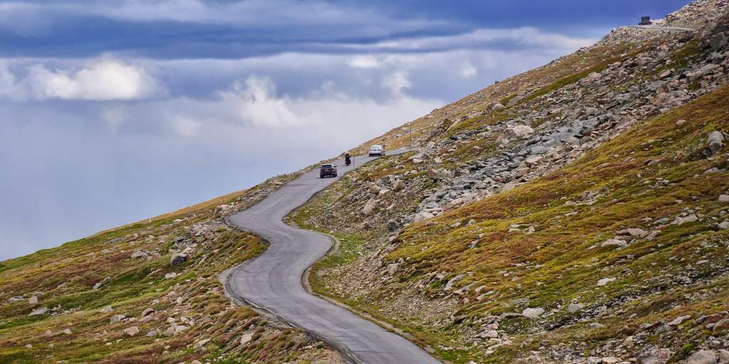
Because the Mount Blue Sky Scenic Byway is so popular, reservations are required to go beyond the Echo Lake entry point. The cost for your timed entry pass is only $2 per vehicle on recreation.gov; without a reservation, the nice people at the gate with the ranger outfits won’t let you in. You pay another $15 for the privilege of riding to the top. From this gate, it’s about 14 terrifying (for me) miles to the summit parking lot. Think of it as a dollar a mile.
Although it’s 10,600 feet above sea level and 40 miles east of Denver, Echo Lake is part of Denver’s sprawling mountain park system. More than 100 years ago, Denver city officials realized that development was threatening some of the most scenic areas in the Rockies. To save those areas, the city purchased more than 14,000 acres of land to protect the natural beauty – including the parks and land near Mount Blue Sky.
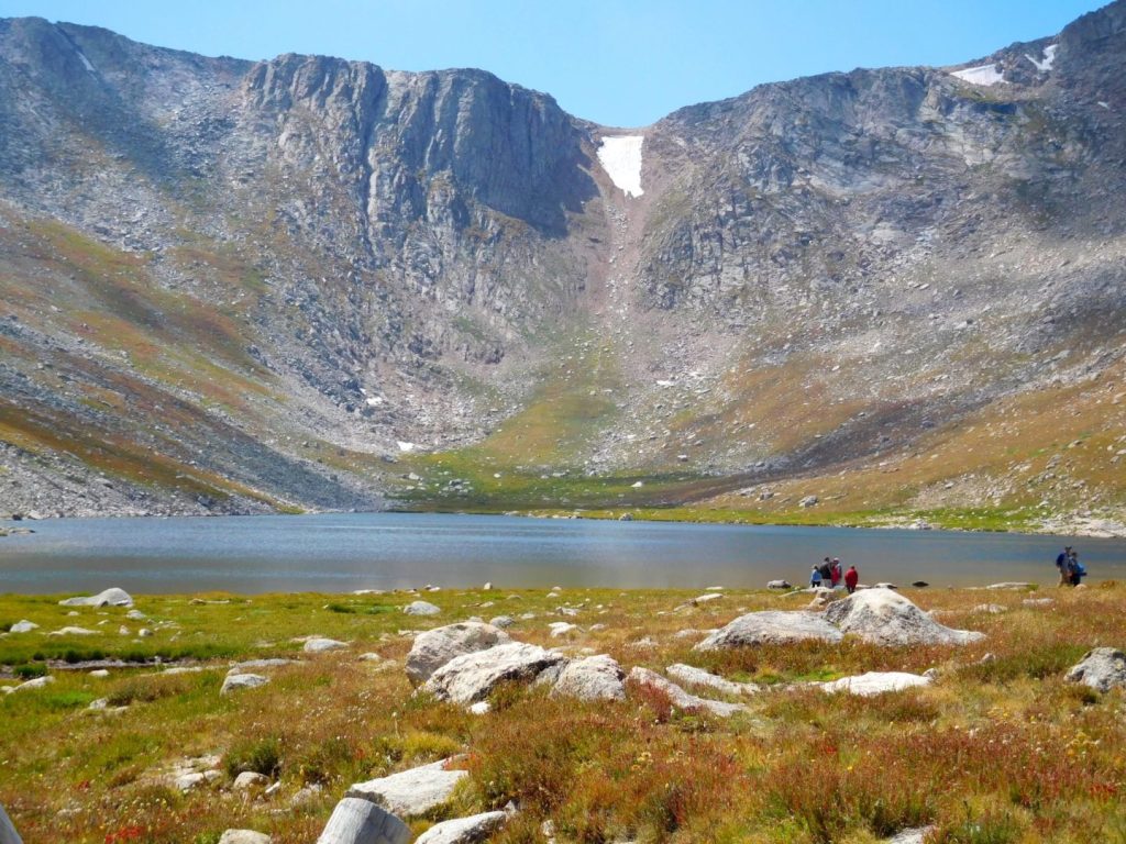
Mount Blue Sky is the most prominent mountain overlooking Denver. For centuries, people looked up to it, but 163 years ago, the mountain changed from something to admire from afar, to something to experience up close and personal.
In 1863, Famous western landscape painter Albert Bierstadt became the first known person to summit the mountain. He initially named it after his wife-to-be, Rosalie. For a time, it was called Mount Rosalie – made famous by an 1866 painting he made called “A Storm in the Rocky Mountains, Mt. Rosalie.” The painting, measuring 83 by 142 inches, is exhibited at the Brooklyn Museum, which acquired it in 1976.
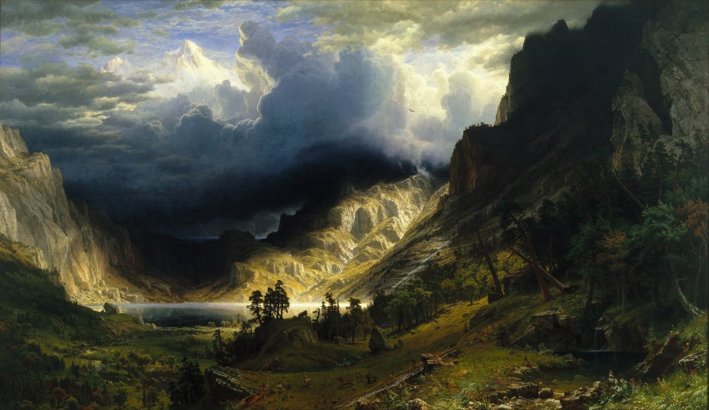
What’s in a Name? The mountain, in 1895, was officially named “Mount Evans,” after John Evans, the second territorial governor of Colorado. The name Mount Rosalie was then moved to a 13,575-foot peak about three miles southeast; today, it’s called Rosalie Peak, and offers fabulous views of nearby Mount Blue Sky and Mount Bierstadt.
In 2023, Mount Evans was renamed Mount Blue Sky, the culmination of a years-long controversy involving Evans’ role in the Sand Creek Massacre. In that 1864 incident, Evans ordered the US Army to slaughter about 150 Cheyenne and Arapahoe Native Americans – most of them women and children. Evans resigned his position as governor over the incident, and yet, the mountain bore his name for nearly 130 years.
It wasn’t until 2022 that the Colorado Geographic Naming Advisory unanimously recommended changing the name to Mount Blue Sky, a name that was proposed by the Cheyenne and Arapaho Tribes. According to the proposal, the new name is a nod to the Arapaho, known as the Blue Sky People, and the Cheyenne, who have an annual ceremony of renewal of life called Blue Sky. The US Board of Geographic Names voted to accept the naming recommendation in September 2023, and the change was effective immediately.
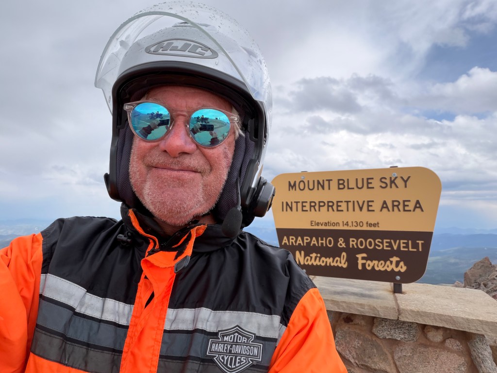
Building the Byway. In the early 1900s Colorado was trying to attract new tourists to the state. At the time, the city of Colorado Springs had recently constructed a road up the side of Pikes Peak (more on that, later in this blog post). The Pikes Peak road was such a success it began drawing visitors away from the Denver area. In an attempt to attract people closer to the Denver area, a road to the top of Mount Evans was proposed to create a similar scenic driving experience, but more convenient for the Denver population.
Construction on the road up the mountain began in July 1923, and was completed seven years later. The road opened to the public in 1931. At the time, the road to what was then called Mount Evans was the highest paved road in the world. Today, it’s the highest in North America. At 14,130 feet, it’s 15 feet higher than the Pikes Peak Highway, which you’ll learn about shortly. (For comparison purposes, the highest paved road in the world is Mig La Pass in eastern India, 19,400 feet!)
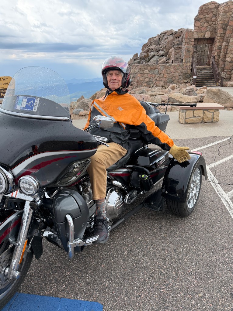
Repairs to the highway closed the road above Summit Lake for 18 months, beginning on Labor Day 2025. The underlying roadway material near Summit Lake had settled, leaving a three-quarters of a mile section of the road pretty much undrivable. The slab of black asphalt, up to three feet in places, soaks up heat from the sun and melts up to 15 feet of permafrost below. The soil constantly freezes and thaws, heaving and buckling the pavement. It’s like a mini-roller coaster.
Well, the road is now fixed, in places, but for much of it, the pavement quality is still a “one” on a ten-point scale (my assessment). It’s super bumpy, rutted, and full of potholes and deep crevices. I’d call it marginally rideable. The Colorado Department of Transportation, which is responsible for road maintenance, should be embarrassed by the road conditions on what is officially known as State Highway 5. By comparison, and you’ll read about it shortly, the road to Pikes Peak is a super highway.
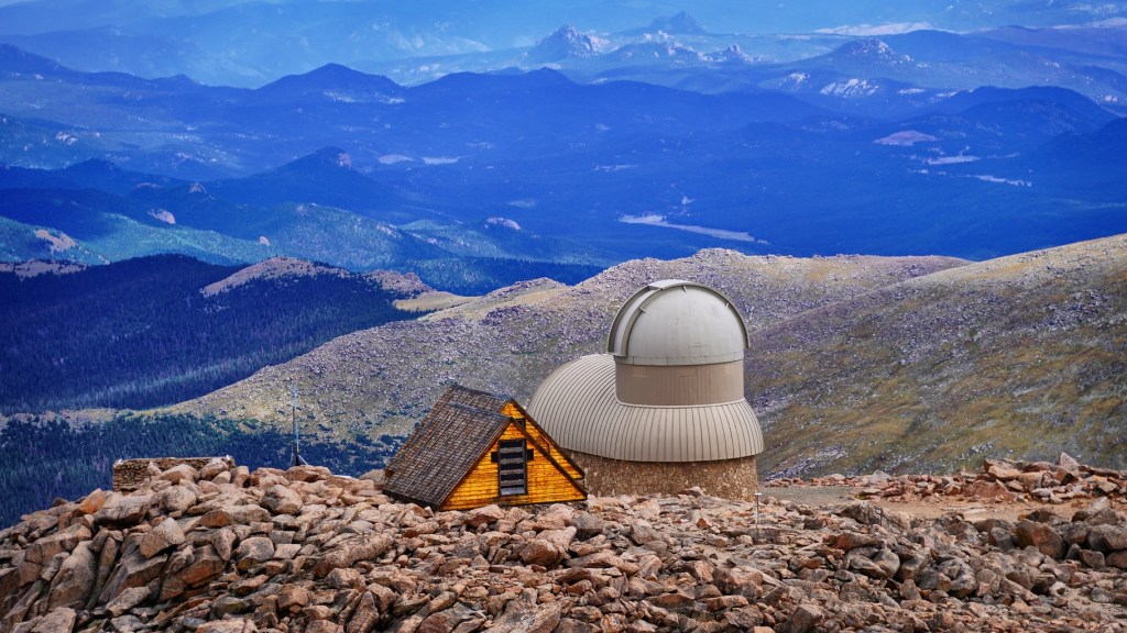
When You Get to the Top. Once you arrive at the top, you’ll find several structures, including the ruins of the Crest House, once home to a restaurant and gift shop, that was destroyed by a propane fire in 1979. There’s also a high-altitude lab built by the University of Denver in 1935 to conduct cosmic ray research. That lab was expanded into an observatory in 1997, run by Denver University’s Department of Physics and Astronomy.
The road to the top of Mount Blue Sky ends at a parking area and turnaround, just 135 vertical feet below the actual summit. There’s a quarter-mile trail from the parking lot to the summit. Hiking this trail allows you to bag a 14er, the easy way. And you’ll have a great story to tell.
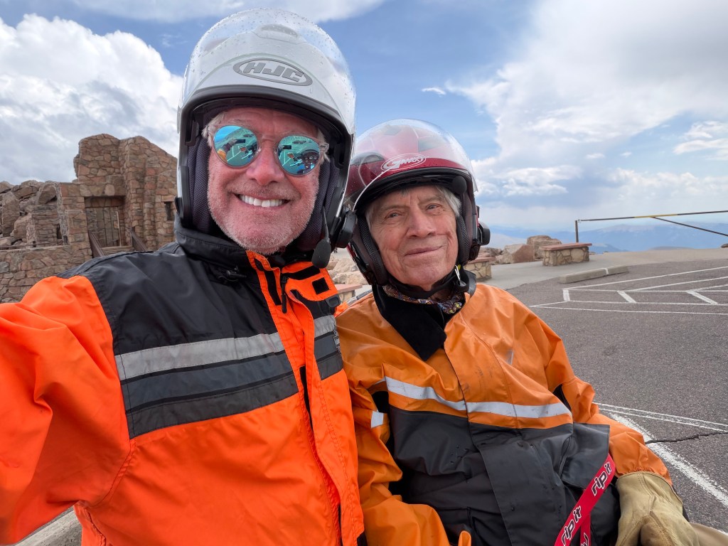
The Mount Blue Sky Scenic Byway generally opens around Memorial Day – weather permitting, of course. And it usually closes around the first weekend in October.
From the summit, and all the way up, the view is breathtaking.
And the air is thin. There’s considerably less oxygen up here than most of us are accustomed to. About 20 percent of people will experience symptoms of altitude sickness above 8,000 feet. There’s a big sign near the summit of Mount Blue Sky, warning of the risks of altitude sickness.
Acute Mountain Sickness is the most common unhealthy response to altitude. It’s a collection of signs that your body is becoming ill and has not adapted successfully to a higher altitude. Symptoms include fatigue, dizziness, loss of appetite, nausea or vomiting, confusion, and difficulty walking. The single most important factor in reducing forms of altitude sickness is descending toward sea level.
From the top of Mount Blue Sky, you work your way down Colorado Highways 5 and 103, and back to Idaho Springs, where you’ll re-join I-70. There are any number of towns you can go to from here to overnight — Georgetown, Silverthorne, Frisco. Wherever you end up tonight, it will have been an incredible ride, one only possible in Colorado.
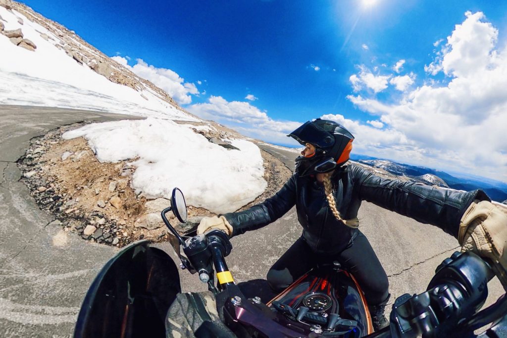
Along the way, you’ll see scenic views of the Continental Divide, the entire Front Range, alpine lakes, mountain goat and bighorn sheep herds, marmots, birds, alpine wildflowers and Bristlecone Pine trees.
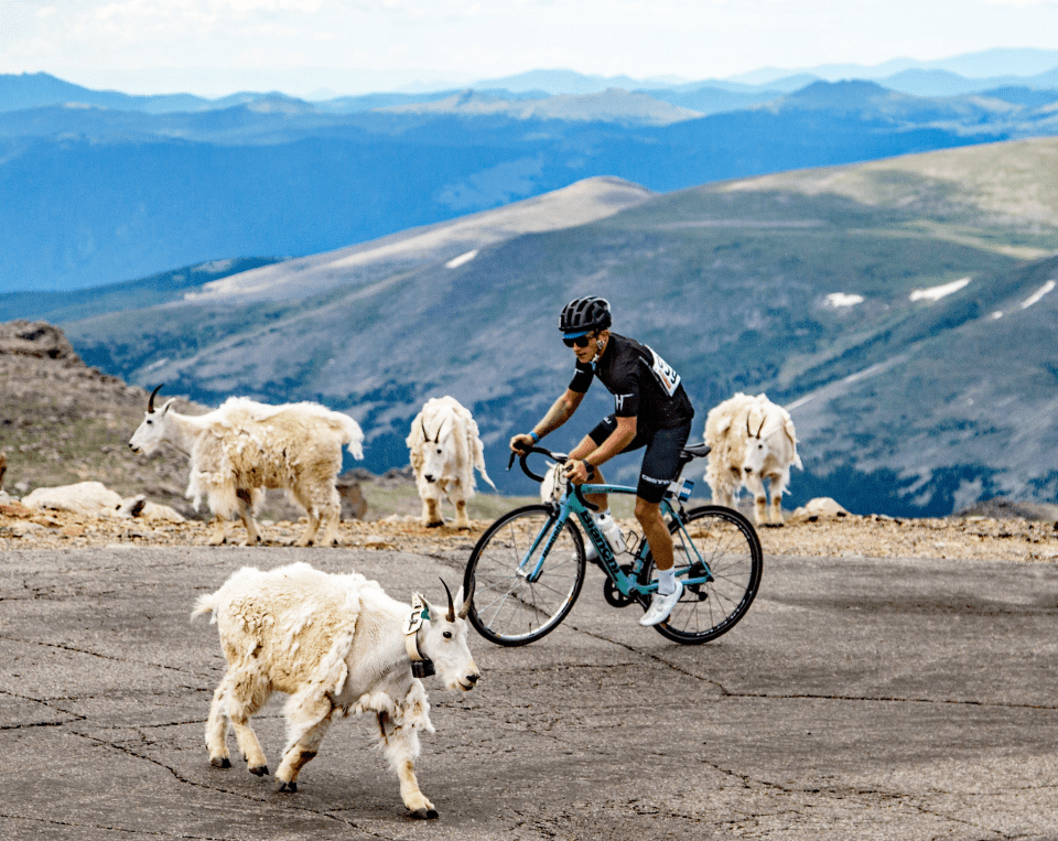
Nice Day for a Ride. During normal summers, when the road is open, there’s an event that closes it to vehicle traffic one day each year in late July: the Mount Blue Sky Hill Climb, held annually since 1962. The race begins in Idaho Springs, runs 27.4 miles, and climbs 6,590 feet. Think of it as a marathon on two wheels.
As many as one thousand riders compete each year in a number of categories, based on age and gender. The youngest rider was nine years old; the eldest 85. The course record is an astonishing one hour and 41 minutes, set by Tom Danielson in 2004.
If you want to ride in next year’s event, you might as well begin training, and filling out your entry. It’s a sanctioned race that requires an annual USA Cycling license ($15) and a $110 registration fee – jersey not included, but you do get a complimentary beer and food at the finish party in Idaho Springs.
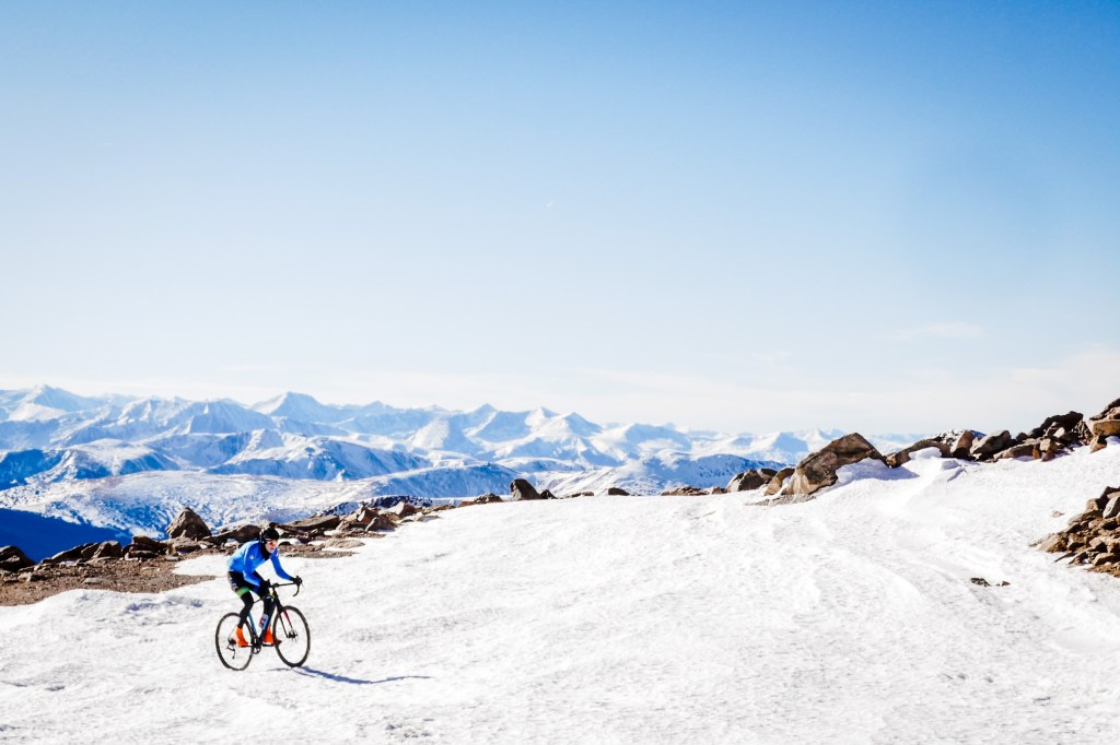
Or, you could be like a couple of adventurous guys who rode to the top, even when the road was closed – in November!
***
Pikes Peak: 14,415 feet
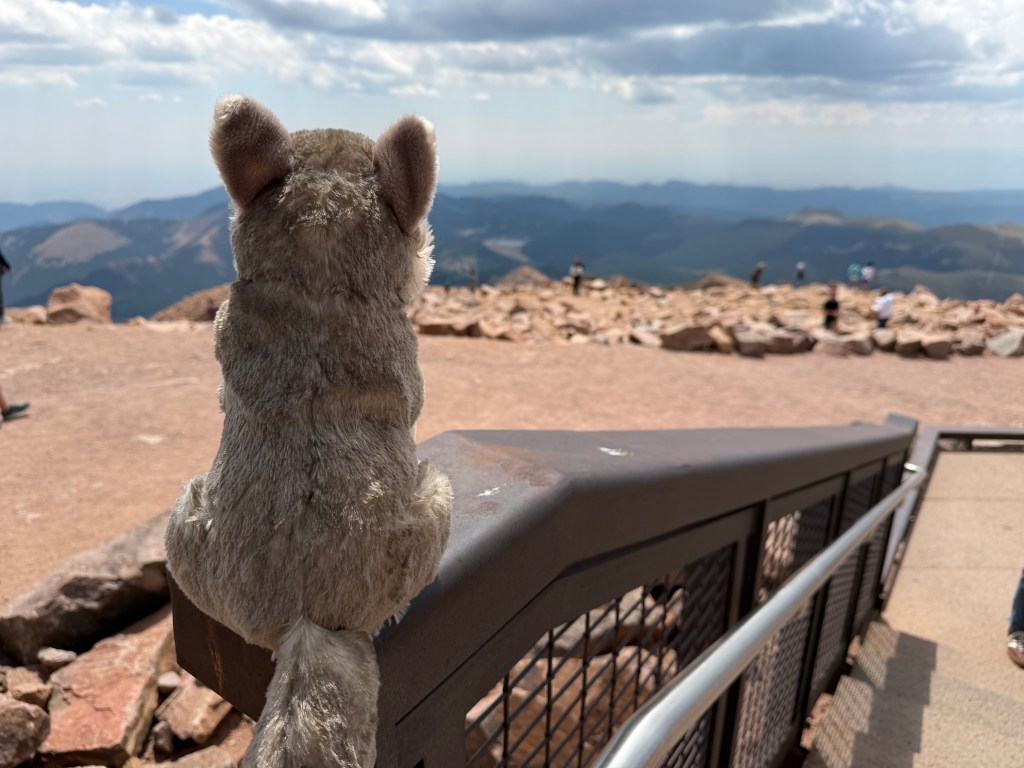
Pikes Peak is the other Colorado 14er that’s #1 on my Top Ten list.
The entrance to the Pikes Peak Highway is just 15 miles west of Colorado Springs, in Cascade, a tiny community where you’ll find the Brush Hollow Winery Tasting Room and Eatery. The Pikes Peak Highway is 85 miles from Denver, the Mile High City. And, it’s more than 200 miles from Carbondale, where you’ll find me when I’m not on the road.
It’s a one-day drive from just about anywhere in the state. It’s at least partially open year-round, up to the altitude where snow removal becomes excessively difficult.
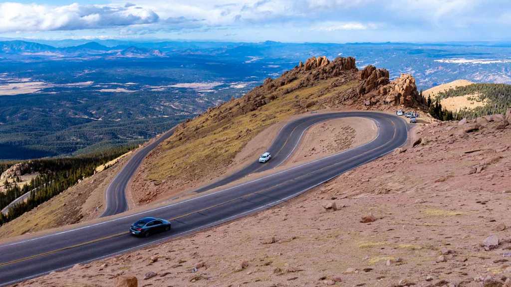
Pike’s Highest Peak. The Pikes Peak Highway is a 19-mile toll road: $2 timed entry fee + $18 to ride to the top; think of it as a dollar per mile. The road runs to the top of 14,115-foot Pikes Peak. Its summit is only 15 feet shorter than the parking lot where the road ends at the top of Mount Blue Sky.
The highway has been around for more than 100 years, 77 of those under the care of the city of Colorado Springs, which manages and maintains the road. The road itself is actually owned by the US Forest Service; the city of Colorado Springs has a special permit to manage the highway and toll road.
From the starting point about a mile west of US Highway 24, the highway rises more than 6,700 feet. An estimated 500,000 people drive to the top of Pikes Peak each year. The mountain is named after explorer Zebulon Pike, even though he was unable to reach the summit when he attempted it in 1806. He and three other men from his exploration party tried climbing to the summit of what had been called Grand Peak. Slowed by rough terrain and inadequate supplies, the climbers never reached the top. On Thanksgiving Day, they saw it from a lesser summit to the south, probably Mt. Rosa, and decided to turn around.
Throughout its history, the mountain now known as Pikes Peak was first called El Capitán, Grand Peak, Great Peak, James Peak, and Long Mountain. Zebulon Pike named it “Highest Peak” in 1806, and the mountain was later commonly known as Pike’s Highest Peak, eventually shortened to just Pike’s Peak. The name stayed that way until it was simplified to Pikes (no apostrophe) Peak by the US Board on Geographic names in 1890. Who needs apostrophes, anyway?
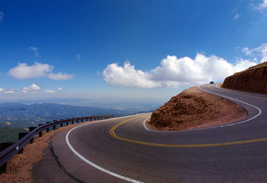
A Road to Promote Tourism. Before Pikes Peak had a highway to the top, the most common way to get there involved trails, donkeys or mules. In 1888, the Cascade Town Company opened the Pikes Peak Carriage Road (also called the Pikes Peak Wagon Road) to escort visitors to the summit. Then, the construction of the Cog Railway in 1891 opened an even easier way to the top. That railway route paved the way for the highway that exists today.
Spencer Penrose, who built the Broadmoor Hotel, the Cheyenne Mountain Zoo and other famous attractions in Colorado Springs, was looking for one more way to promote tourism in the area in the early 1900s. He got the idea to construct a highway to the top of Pikes Peak, and the road was built in 1915 at estimated cost of $500,000 – around $17 million today.
The highway was not technically completed until 2011, when the final 13 miles to the summit were paved; that last section had been a dirt road for the first 95 years of its existence.
Driving the dirt portion of the road at high speeds was always part of the thrill of the Pikes Peak International Hillclimb. That race began in 1916, to promote the newly opened highway, and is the second oldest continuous motorsports event in the US, after the Indy 500. It’s known as the Race to the Clouds, held every year on the last Sunday in June. Don’t get any crazy ideas to enter your hot little Subaru; it’s an invitation-only event.
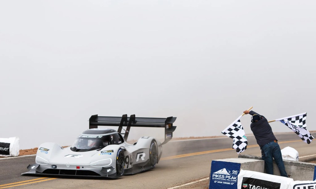
A Need for Speed. In the race, cars begin at the 9,390-foot mark, and drive 12.4 miles to the summit, covering the 156 turns in, well, no time at all. The fastest time is 7 minutes, 57.148 seconds, recorded in 2018 by French driver Romain Dumas in an all-electric Volkswagen I.D. R. That’s an average speed of 93.58 miles per hour. Top speeds are upwards of 140 miles an hour.
The event even includes motorcycles. Or it did. Motorcycles of all kinds.
In the 1950s, Harley-Davidsons won the motorcycle class twice in the 750 cc division. Vroom! Over the years, motorcycle winners have included Triumphs, Yamahas, Hondas, Husqvarnas, Ducatis, KTMs, and Aprilas.
The motorcycle record at the Pikes Peak International Hill Climb is an average speed of approximately 76.5 miles an hour, set during the 2019 event by rider Rennie Scaysbrook, riding an Aprilia Tuono V4 1100 up the course in a record time of 9 minutes 44.963 seconds. That’s crazy! I probably averaged about 20 miles an hour on my way to the top.
In the same 2019 event, four-time winner Carlin Dunne had rounded the final corner and was within sight of the finish line, when he lost control and was killed in a crash. He was riding a Ducati Streetfighter V4 Prototype bike. Dunne’s run up the mountain was the last time anyone raced up Pikes Peak on a motorcycle. His mother, who supported Dunne’s racing career and knew the risks, said of the event: “The reality is that you can’t make it a safe race.”
Motorcycles are no longer allowed in the Pikes Peak International Hillclimb.
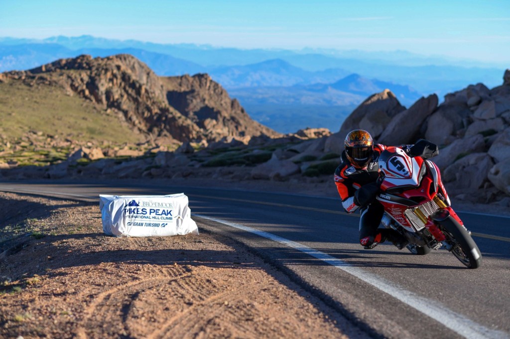
Whether you’re in a race, leisurely driving your car, hiking or taking the Cog Railway, you will travel through four Colorado life zones on your way to the summit: foothills, montane, sub-alpine and alpine. Along the way, particularly the final few miles, you’ll experience 20 incredibly tight hairpin turns. I know there are 20, because I counted them on the way down. They are all first-gear, 10-mile an hour, maximum, turns. The trick is to not go so slow that you stall out. As you learn in motorcycle training classes, look where you want to go, and the bike will follow.
Of all the ways to reach the summit of Pikes Peak, one of the most challenging may be hiking the Barr Trail. This 13.5-mile route, which begins in Manitou Springs, gains 7,400 feet of elevation along the way. It’s basically a half-marathon, hiking uphill.
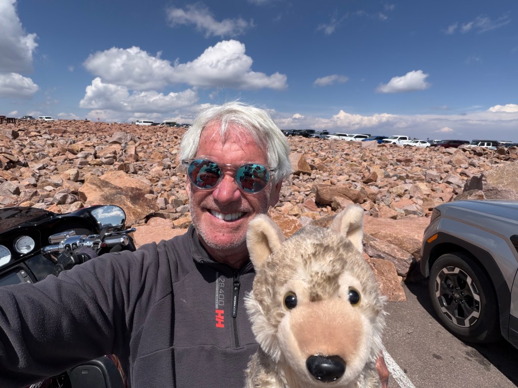
Another Way to the Top. You can also ride a cog railway to the top, the highest cog railroad in the world. It begins in Manitou Springs, takes an hour up, 45 minutes at the top, and an hour back down. Depending on time of day, round-trip tickets start at $67. The first train reached the Pikes Peak summit in 1891. It’s a nine-mile train ride, half as long as taking the road to the summit.
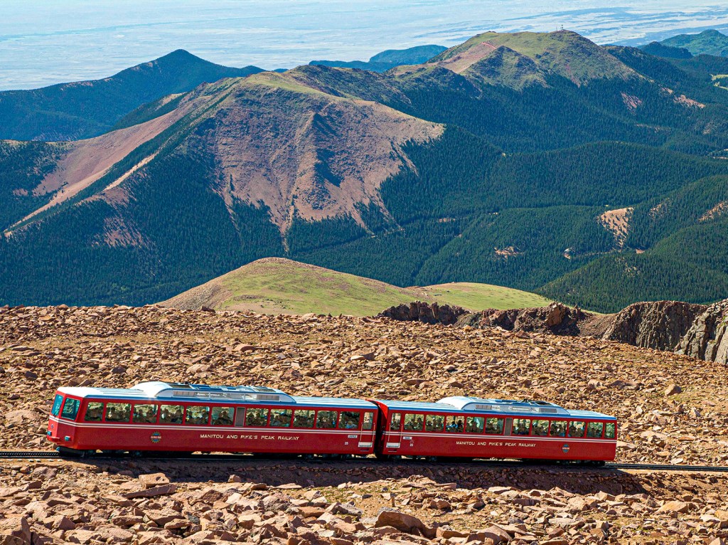
The railway has a specialized rack-and-cog mechanism to tackle steep mountain inclines up to a 25 percent grade. A cog railway, also called a rack railway, is a special train system that uses a toothed middle rail (the rack) and a matching gear wheel (the cog) under the train to grip the track tightly and pull itself up safely. The Pikes Peak cog railway carries as many as 263 passengers. The railway is owned by the Broadmoor Hotel in Colorado Springs.
It’s the highest cog railway in the world. Pets are not allowed on board, but you can bring a service animal, like Walter Jr.
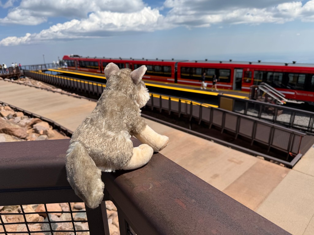
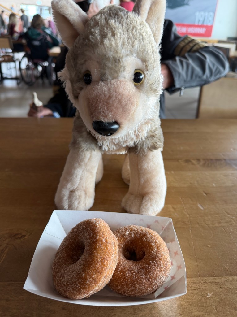
When you arrive at the summit, no matter how you get there, you’ll be greeted by a state-of-the-art visitor center known as the Pikes Peak Summit House. The building includes exhibits, a gift shop, and indoor and outdoor dining areas where you can enjoy a world-famous Pikes Peak donut.
The donuts are made in what’s believed to be the highest deep-fat fryer in North America, which produces more than 500,000 of the sweet treats every year. Your legendary donut will be fried using the same altitude-adjusted recipe that’s been passed down since 1916.
Yum.