***
These two passes in the Sierra Nevada mountains can be ridden back-to-back. I’ve done it twice, in 2015 and 2019. For riding a motorcycle, this is as good as it gets.
The road over Ebbetts Pass, Highway 4, runs 80 miles, beginning in Markleeville and ending in Angels Camp — in the heart of California’s gold country.
To get started, you’ll probably leave South Lake Tahoe, where you overnighted. From here, you head south about 30 miles on California Highway 89 over Luther Pass to Markleeville, population 200. Markleeville is the county seat and largest community in Alpine County. With a population of just over 1,200, it’s the least populous of California’s 58 counties.
Jacob J. Marklee founded a toll bridge crossing the East fork of the Carson River in 1861. He hoped to tap into the traffic from the silver mining boom in the region. After his death in a gunfight in 1863, a post office was opened and named after Marklee.
Markleeville is on the map for annually hosting a bicycle race called the Death Ride Tour of the California Alps. The Death Ride is held every year in mid-July, and costs $209 to enter. The event attracts extreme athletes from all over the US, who pedal over six Sierra passes for a total distance of 103 miles and more than 15,000 feet of elevation gain. The winner generally finishes in around eight hours of riding time. Survival is considered a pretty reasonable goal.
In Markleeville, the fun really begins.
Highway 4, the road over Ebbetts Pass, is also known as the Alpine State Highway. John Ebbetts, a California pioneer and Captain of the Knickerbocker Exploring Party of New York, first traversed the pass in April 1851 with a large mule train. Ebbetts hoped it would make a suitable route for the transcontinental railroad to cross the Sierra Nevada range, as he observed little snow there at the time.
He might have thought differently if he’d been around in the winter, when snow is generally abundant. The transcontinental railroad was eventually built in the 1860s to cross the Sierras over Donner Pass, near Truckee, California — where Interstate 80 is today.
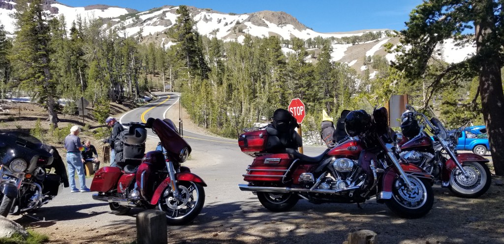
Ebbetts Pass summits at 8,730 feet. It’s a 61-mile National Scenic Byway that generally closes for the winter in Mid-November, and stays shut down until May or June. Today, there’s no snow, and still no railroad over Ebbetts Pass.
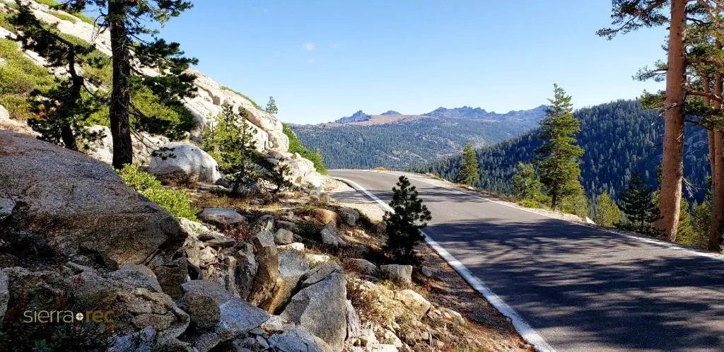
Traveling Ebbetts Pass on a motorcycle, you really need to bring your “A” game.
Ebbetts Pass narrows, often has barely room for two vehicles to pass, no shoulders, and precipitous drop-offs. The road is quite steep and features countless blind hairpin corners, hitting a 24 percent maximum gradient. An extensive section of the pass has no dividing line, and in some places is basically a one-lane road. Strap in.
About a third of the way from Markleeville to Angels Camp, you’ll ride past Lake Alpine. The lake sits at 7,300 feet and covers 180 acres. Here, you’ll find the Lake Alpine Lodge, which calls itself “Just above the middle of nowhere.”
Lake Alpine Lodge was originally built in 1927, but the building collapsed from heavy snowfalls five years later, and was eventually rebuilt. The lake is the first thing you come to after entering the Stanislaus State Forest. Lake Alpine was created in 1892 when a creek was dammed, allowing the valley to fill and providing a steady supply of water to mining operations in Angels Camp, the termination of the Ebbetts Pass road.
After 80 thrilling miles, the Ebbetts Pass Scenic Byway ends in Angels Camp. If the name sounds familiar, you may remember it if you’re a Mark Twain fan. Angels Camp was the location of his famous story, “The Jumping Frog of Calaveras County.”
Angels Camp sits atop a massive vein of gold. Five mines operated here, producing a total of more than $20 million in gold during the 1880s and 1890s.
From Angels Camp, it’s a 15-mile ride on historic highway 49, to the town of Sonora. The town was founded during the California gold rush by Mexican miners from Sonora, Mexico — after which the town is named. Sonora is the only incorporated community in Tuolumne County.
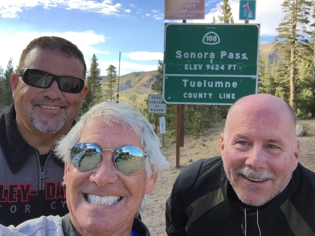
Here, the road over Sonora Pass begins. Known by the California Department of Transportation as Highway 108, it also runs 80 miles. Same as Ebbetts Pass.
The road over Sonora Pass is spectacular as well. The grade exceeds 8 percent most of the way, and reaches 26 percent.
At 9,623 feet, it’s the second-highest highway pass in the Sierra Nevadas. Sonora Pass is closed throughout the winter and generally re-opens in May or June. This year’s opening was May 16.
The first documented immigrant traverse of Sonora Pass appears to have been in the late summer of 1852 by a wagon train known as the Clark-Skidmore Company. With the discovery of deposits and development of silver and gold mining east of the Sierra Nevada in the beginning of the 1860s, merchant interests in the counties on both sides of the pass pushed for development of a road that would enable them to improve transportation and trade. Surveying for a road through Sonora Pass began in 1863 and the road was in use by 1865.
Leaving the town of Sonora, the climbing begins immediately, following the route originally set by surveyors in the 1860s.
Thirteen miles east of Sonora, you climb to 3,648 feet and roll through the town of Twain-Harte. Its motto: “More Trees Than People.” The unique hyphenated town name is derived from the last names of two famous authors who lived in California in the 1800s, Mark Twain and Bret Harte.
From Twain-Harte, you pass Strawberry, named after the wild strawberries that grew there. Then, you continue climbing for 54 miles, gaining more than 5,600 feet of elevation until you reach the summit of Sonora Pass.
As you roll by the summit of Sonora Pass, you’ll pass Pickel Meadow, at 6,762 feet. It’s home to the US Marine Corps Mountain Warfare Training Center.
The MWTC is considered to be the Marine Corps’ premier training site for preparing Marines to serve in mountainous regions, with an emphasis on cold and high-altitude confrontations. This training post was first established in 1951 to provide cold weather training for replacement personnel bound for the Korean War.
During the 1980s, the facility’s focus was on training and preparing Marines and operational units for deployments on NATO’s northern flank, particularly Norway. In recent years, the training center provided pre-deployment training for the war in Afghanistan.
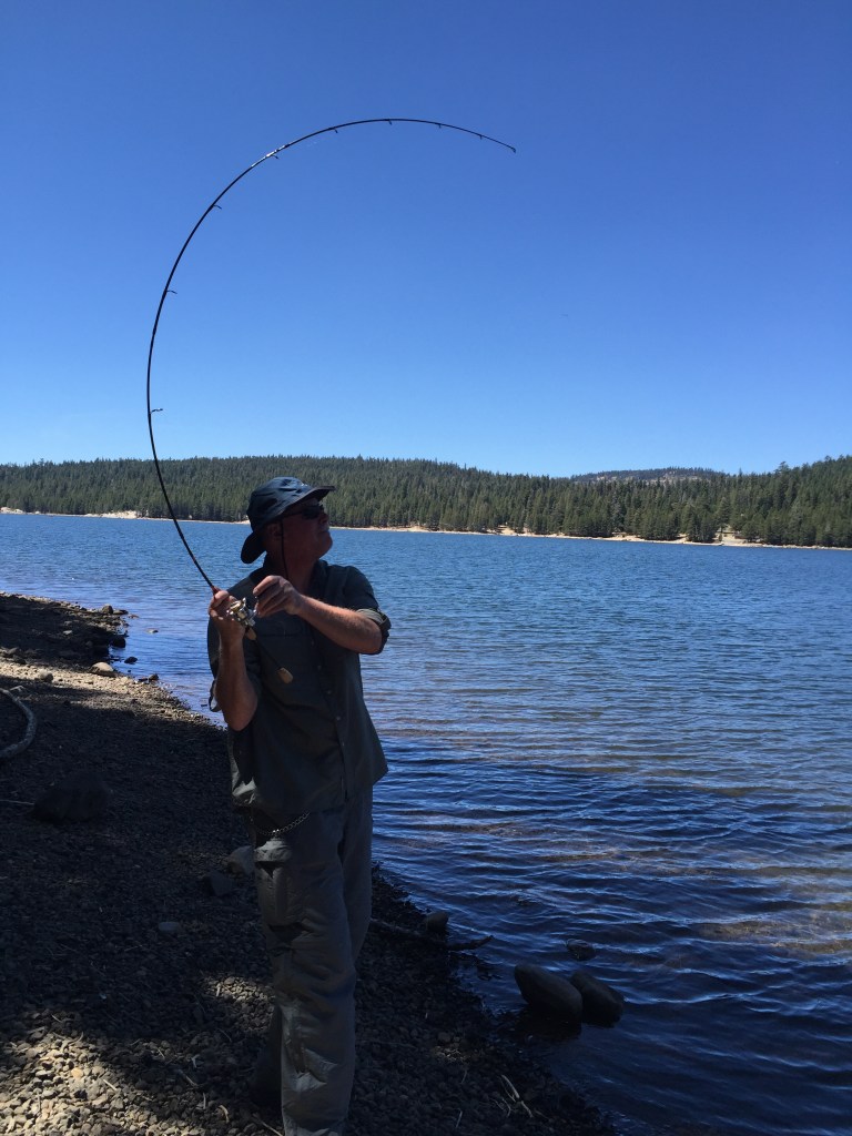
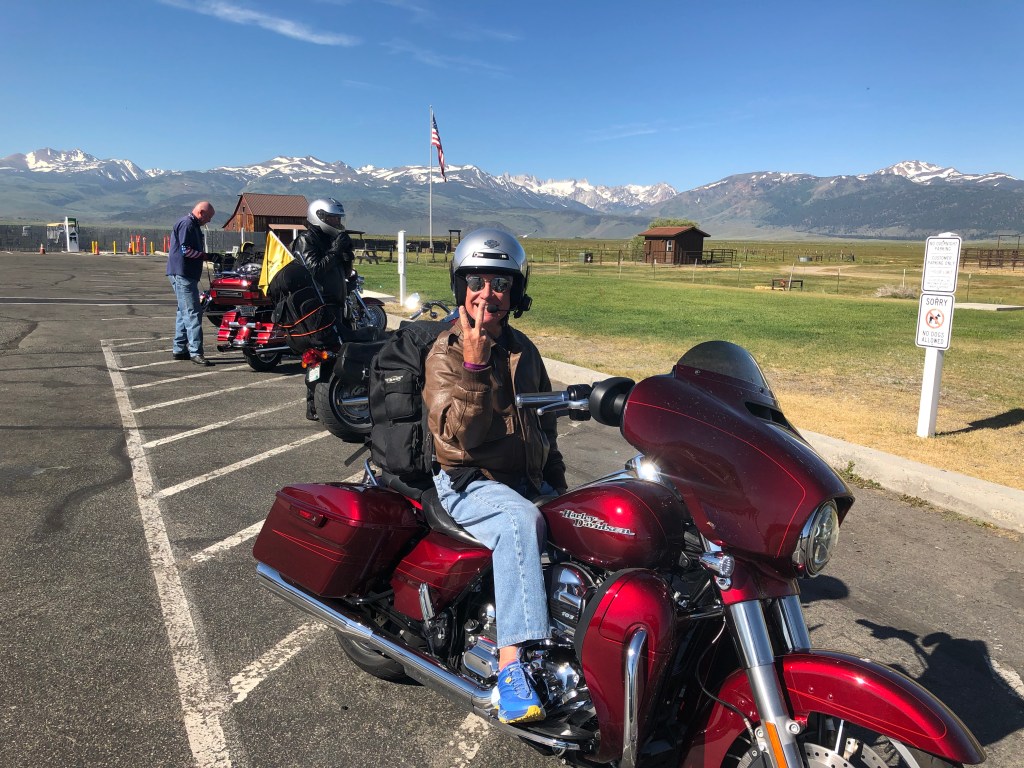
The ride over Sonora Pass ends in Sonora Junction, about five miles east of Pickel Meadow. Here, you can either turn north on US Highway 395 and head back toward Lake Tahoe, or turn south on US-395 and ride 17 miles to your overnight destination — Bridgeport. As the county seat of Mono County, Bridgeport is known in the summer for its trout streams and backcountry lakes. These waters offer some of the premier Rainbow, Brown and Cutthroat trout fishing found anywhere in the world.
From South Lake Tahoe, over Ebbetts Pass and then Sonora Pass, your ride to Bridgeport is 220 miles. Time in the saddle is about 5 hours and 10 minutes.
It is the best single day of riding imaginable.
To explore this route, click here.
